Summary Report
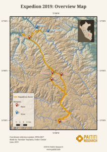
After spending almost three years on theoretical studies, strictly considering all pros and cons, getting deeper into the subject of our research and selecting the most promising areas, we decided to take our first steps on the ground of Peru. We aimed to fulfil both our dreams and duties! But somehow things happened naturally, there was no pressure, no rushing. It was an ordinary, simple day when both Yaroslav and myself—Ceslav, understood that we had to abandon our computers and venture into the wild side to have a look with our own eyes at what was hidden beyond the horizons we know! We both felt a need for a new kick, for a refreshment of both our minds and our souls and we were simply very eager to comprehend this country, its people and history with all our senses and not just by studying books or satellite imagery. Enough was enough!
By the end of May 2019 we were on our adventure and after we highlighted with green colour all the items from our long list of orders with the title «must be in», we set up hunting the legend (or at least the initial steps). Our test expedition had to test our equipment, including satellite navigation and our physical and mental limits both at:
- Lower altitudes (1000–2000 m a.s.l.)
- Higher altitudes (3000–3500 m a.s.l.)
And to gain from this conclusions to prepare for our final expedition.
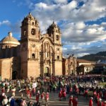
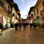
Memories from Cusco:
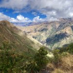
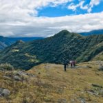
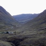
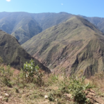
Choquecancha: In the footprints of Padre Polentini
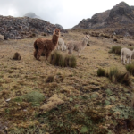
Altitudes 3000–3500 m a.s.l.
During our initial studies dedicated to the subject of Paititi, we were not able to miss a book with the title “Por Las Rutas del Paititi” written by Carlos Polentini Wester. A long time ago, Wester was a priest with duties in the areas of Lares and Amparaes. Today you could say it’s a sort of Wikipedia for those who are new to the subject. Padre Polentini had fortunately documented in his own way the legends and the network of old Inca paths in the area. His work was a great contribution for maniacs like us trying to fit the pieces of a puzzle leading to Paititi. Others claimed the area around Choquecancha Padre Polentini described in his book is not a place where nowadays anyone could seriously search for any traces of Paititi. Really NO traces? WOW!!! And here we are!!!
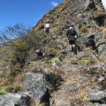
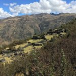
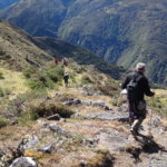
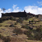
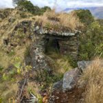
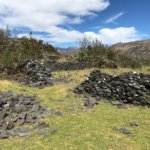
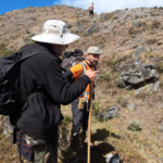
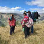
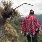
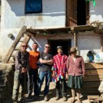
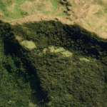
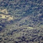
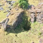
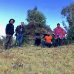
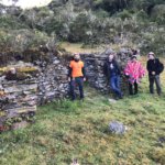
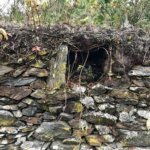
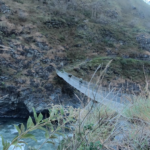
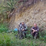
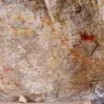
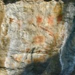
While getting ready for our expedition we had managed to establish contact with a very interesting person in the region: Don Paulino Quispe Veronica—the leader of the local community who became not only our excellent guide in the area but also proved to be an invaluable source of information. Don Paulino provided informative insights and knowledge relating to the Incas presence in and around Choquecancha. Only with his help we were able to locate the remnants of a giant bridge once connecting over Rio Lares the path from Vilcabamba and the road leading further to selva. Or even more probably, two communication points between those two paths, as it was for us hard to believe that the Incas had technological possibilities to create a bridge with a span of approximately 300–700 meters. Additionally to this we were also shown an entrance to an escape tunnel of the Incas (chincana) leading from the ruins of Machu Wasi to Mantto (a place with the rock-paintings of lambs that according to the legend points to Paititi) and thus covering a distance of roughly 2 kilometres. Following the advice of Don Paulino and lacking the proper equipment we were unable to explore the narrow tunnel but we will definitely return there next time.
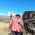
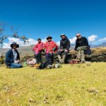
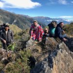
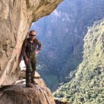
Following Don Paulino:
Needless to say that Don Paulino and his information significantly enhanced the results of the first part of our test expedition and we understand that data we got from the satellites and books shouldn’t be all we rely on. Rather we should always combine this with the knowledge of the local people in order to maximise success, or as Padre Polentini would say: “The way of a fool is right in his own eyes, but a wise man listens to advice” (Proverbs 12:15)
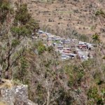
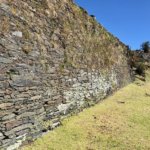
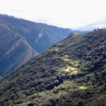
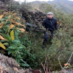
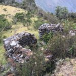
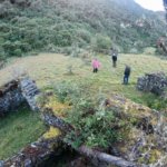
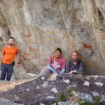
At the uncharted Inca terraces:
Río Yavero
Altitudes 1000–1300 m a.s.l.
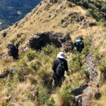
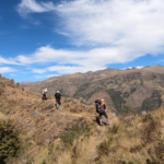
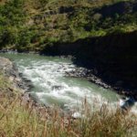
Testing our possibilities along the Yavero river:
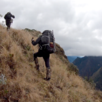
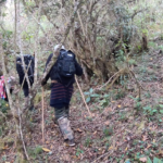
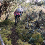
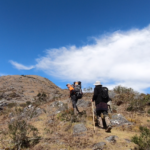
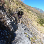
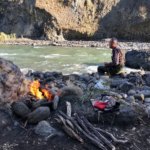
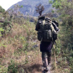
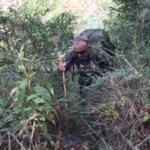
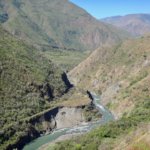
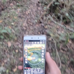
For the first time in Peru we were just on our own, without any companion, any guides, any advices (just Yaroslav and me). Carrying our heavy (though stuffed only with light-weight items) backpacks we followed an old, overgrown zigzag path along the río Yavero till the canyon of the río Chunchusmayo and during those days we learned how to use properly machetes, how to find a good place to sleep and generally: how to get orientated in an uninhabited environment. In all those issues our satellite navigation proved to be an excellent tool and we had always a perfect overview of the territory we were crossing through. It’s probably useless to say that everything was always going so easy and spotless: there were moskito bites, steppings on deadly snakes, and injures there but as we hated to get into any adventure since the very beginning of our expedition we were well prepared for all that sort of troubles. And the most beautifull memory? The view of Southern Cross on the sky and the sound of the Saul’s car powerful engine arriving to our meeting point to pick us up. Hasta la vista, we will be back!
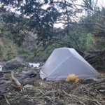
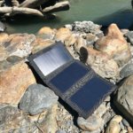
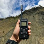
Some of our equipment:
Lima
Just by the Pacific Ocean
As a bonus to our expedition we spent our last day in Peru in Lima visiting our friends and partners at Sputnik Lab at Universidad Nacional de Ingeniería. After hard days in the wilderness of Peru we were back into civilisation accompanied by very friendly students and professors. Once again we had a chance to feel a great hospitability of Peruvian people but our meeting had not only a party-like character: we discussed how our experience in remote sensing and their engineering skills could be mutually useful in current and future projects, and we witnessed the demonstration of the start of their self-constructed rocket, and we just could admire their enthusiasm and engagment in creating the reality out of their dreams: we fell so much close to them—despite our cultural, geographical and other differencies we were on the same way: up to the stars and back to the earth!
At the Sputnik lab:
Summary of the Summary
We are ready! The Gods of ancient Peru allowed us to make our first step into their kingdom and we came back alive, enriched with many great experiences and even greater friendships. Right now we are again in front of our computers evaluating new high resolution imagery of the territories we are interested in and soon after this we will decide: we will discover Paititi by land or by boat? Both possibilities are opened at this time but we will open our cards when there will be a joker in them and we will give you a great chance on participation using the kickstarter platform. And we mean not just a passive participation but a real one too! Stay updated!
Ceslav, Yaroslav and Paititi Research Team
June, 2019


